Create or bring a model
Start from existing scientific code, an analyst script, an open-source model, or a new model drafted with AI support.
NIKA GeoEngine
Give government and enterprise teams a faster way to deploy geospatial models — machine learning and classic scientific models alike — as interoperable, governed geoprocessing services. NIKA GeoEngine turns proven models into reusable services that support planning, resilience, infrastructure, and environmental decisions.
Start in minutes
Install the CLI, wrap any script into a worker with your AI coder, then publish it to NIKA Planet, QGIS, ArcGIS, and the API. Copy each command and run it yourself — or skip the terminal and ask NIKA Analyst.
Make sure Docker is running, then install GeoEngine and log in with your NIKA account.
curl -fsSL https://raw.githubusercontent.com/NikaGeospatial/geoengine/main/install/install.sh | bashirm https://raw.githubusercontent.com/NikaGeospatial/geoengine/main/install/install.ps1 | iexgeoengine auth logingeoengine setup plugins --allDon’t want to touch a terminal? Build, test, and deploy GeoEngine workers just by chatting with NIKA Analyst — it runs every step above for you.
Governed model lifecycle
Start from existing scientific code, an analyst script, an open-source model, or a new model drafted with AI support.
Package it once, assign a version, and make it available to authorized teams through NIKA Planet, ArcGIS Pro, QGIS, or APIs.
Retrain, tune thresholds, add new input datasets, compare outputs, and roll forward without disrupting field operations.
Model examples
These examples are drawn from the GeoEngine worker catalog and common public-sector workflows. More models can be browsed in NIKA Hub, or created with AI assistance for free.
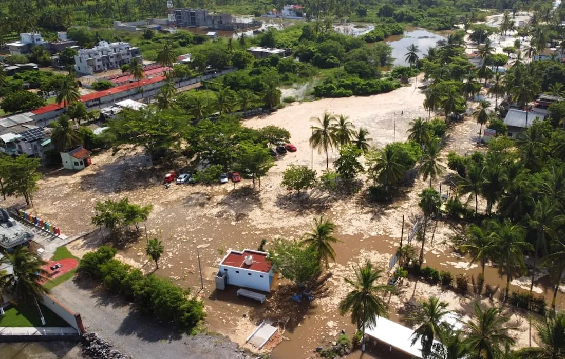
Run rainfall, river, and drainage scenarios so agencies can compare flood risk before approving works.
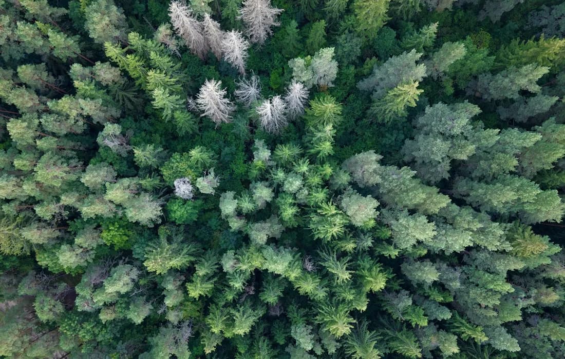
Turn satellite and lidar evidence into forest structure layers for carbon, habitat, and restoration planning.

Convert aerial imagery into building layers that support cadastral review, housing supply, and post-disaster checks.

Extract road networks and access routes from imagery to support routing, emergency access, and infrastructure audits.
Estimate evapotranspiration and crop water productivity for irrigation planning and drought response.
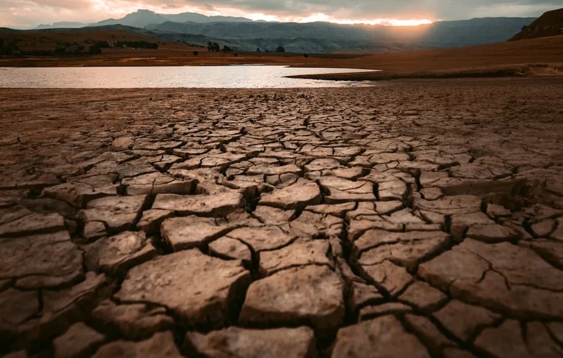
Operationalize heat, rainfall, and cold-spell indicators for policy reporting and infrastructure stress planning.

Model hazard, exposure, damage, and loss scenarios for emergency planning and asset risk portfolios.

Analyze AIS tracks, port movements, marine zones, and environmental context for shipping and coastal enforcement.
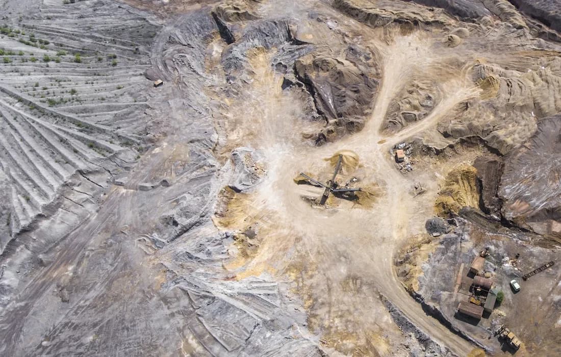
Convert drone imagery into orthophotos, point clouds, DSMs, and meshes for site progress and volume checks.
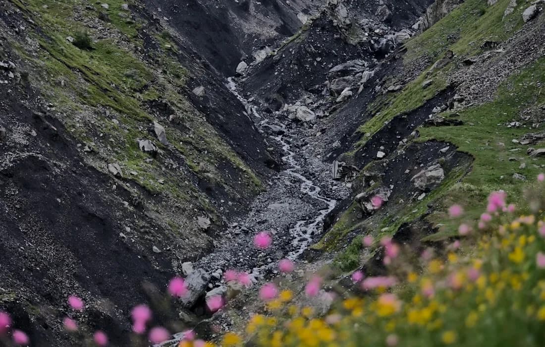
Use InSAR time series to detect subsidence, slope movement, and infrastructure deformation earlier.
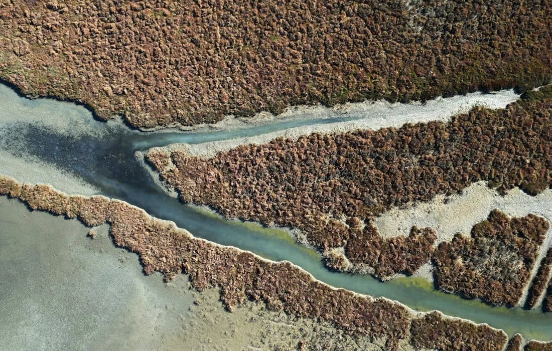
Run habitat, sediment, nutrient, carbon, and coastal vulnerability models for conservation investment decisions.
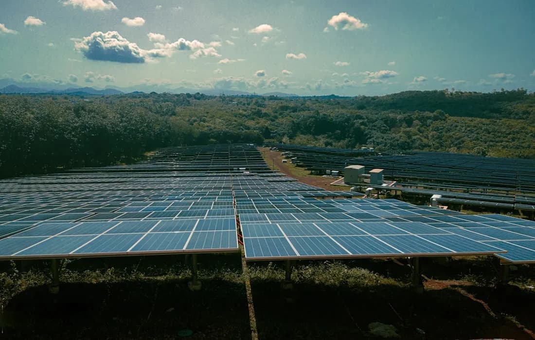
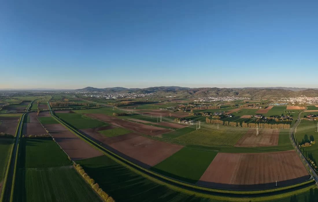
Combine terrain, grid, wind, constraints, and ranking models to prioritize development sites.
NIKA Hub workers
Where it runs
GeoEngine workers can be made available across NIKA Planet, ArcGIS Pro, QGIS, and managed cloud workflows. The same model can support analysts, managers, and field operations with one governed release path.
For model-owning teams