Journal
AI Analysis & Location Intelligence Blog
Deep dives into AI analysis, platform updates, and location-intelligence insights from the NIKA team.
NIKARead more
The Era of FME Conversion Is Coming to an End — Now AI Takes Over with Cheaper, Simpler Alternatives
NIKARead more
Which Site-Selection Tool Is Best for U.S. Franchise Owners in the Age of AI?
NIKARead more
We Have Never Seen True dMRV — And Nature's Protectors Needed It Yesterday
NIKARead more
The Map Is Getting Smarter: Choosing an AI Copilot for Real-World Location Work
Lawrence XiaoRead more
What Happens to 20 Years of Field Knowledge When Your Senior Ecologist Moves On?
NIKARead more
7 Issues in Ecological Surveying and How GIS + LLM Can Solve Them
NIKARead more
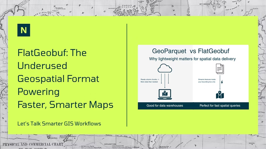
FlatGeobuf: The Underused Geospatial Format Powering Faster, Smarter Maps
Shavini WeliwitaRead more
Bridging the Valley of Death for Geospatial Models
NIKARead more
How to Automate Control Plot Generation at Scale (Reshaping VM47 Carbon Modeling: Part 1)
NIKARead more
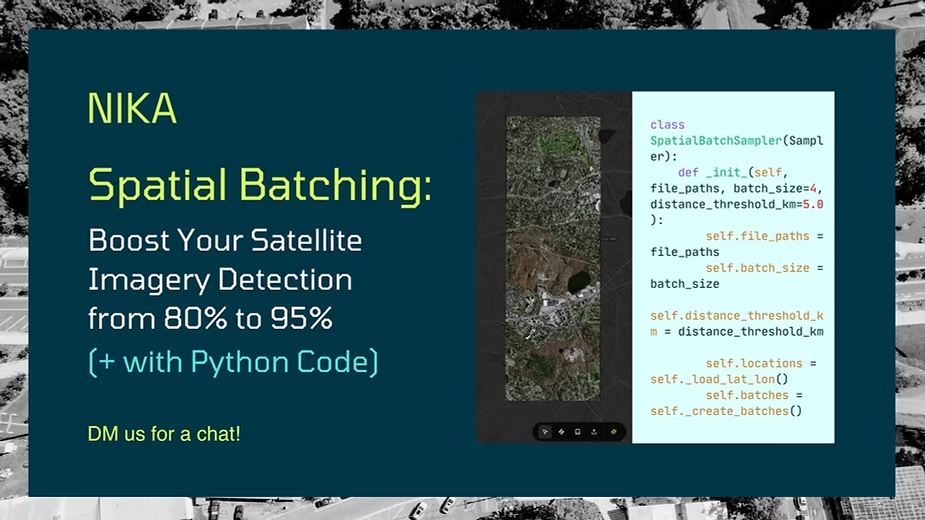
Spatial Batching: Boost Your Satellite Imagery Detection from 80% to 95% (+ with Python Code)
NIKARead more
Improving Object Detection Model Performance Using Strategic Data Augmentation
NIKARead more
Why Your Organization Needs a Spatial Data Strategy in 2025
NIKARead more
Shell, Starbucks, Maersk: What do these companies have in common?
NIKARead more
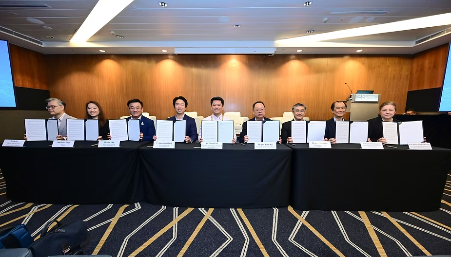
NIKA Signs Memorandum of Understanding with the Maritime and Port Authority of Singapore (MPA)
NIKARead more
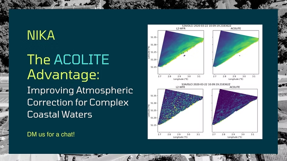
The ACOLITE Advantage: Improving Atmospheric Correction for Complex Coastal Waters
NIKARead more
The Future: Democratizing Climate Tech
NIKARead more
ABACUS vs. VM0047 Carbon Project Standards Comparison
NIKARead more
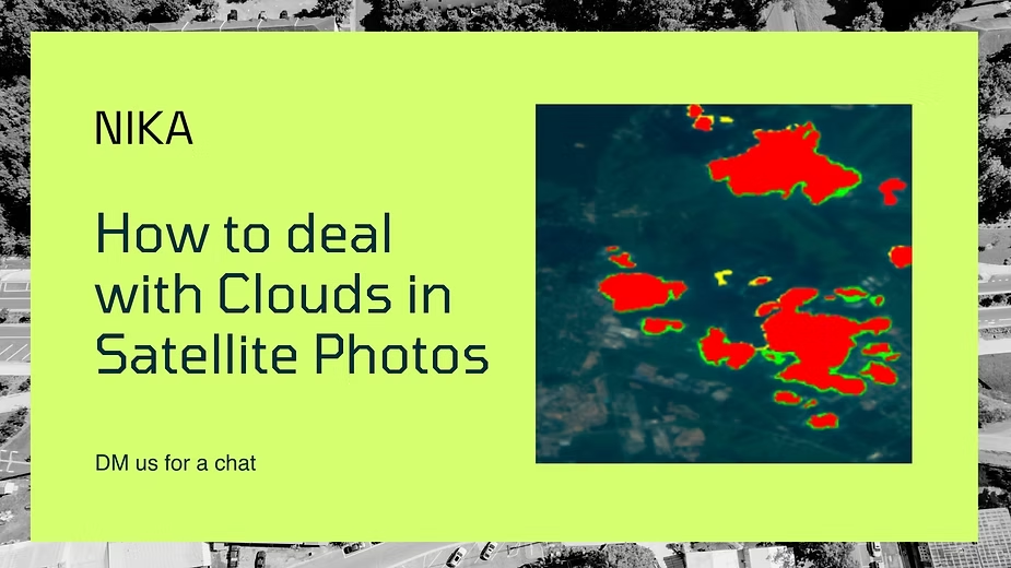
How to Remove Clouds in Satellite Photos
NIKARead more
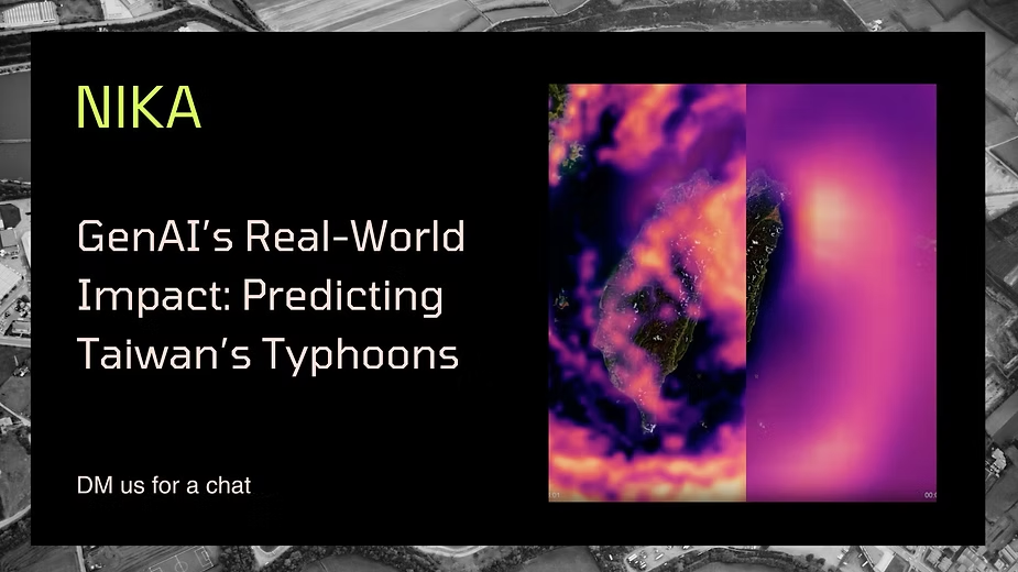
GenAI’s Real-World Impact: Predicting Taiwan’s Typhoons
NIKARead more
8x your GIS data processing speed with Parallel Processing
NIKARead more
Point Prompts to improve SAMs (With table of comparison + examples)
NIKARead more
Explainer: How GenAI in Climate predictions work
NIKARead more
Spatial Data Processing I: The Basics & Mosaic Processing
NIKARead more
The Role of Generative AI in Climate Tech
NIKARead more
The Ripple Effect: How Climate Shapes Disease Landscapes
NIKARead more
Geospatial AI and Earth Observation Data for Faster Climate Insights
NIKARead more
Why Carbon Sequestration Alone Doesn’t Equal Carbon Credits
NIKARead more
What do VM0047 Control Plots Look Like?
NIKARead more
VM0047 Control Plots: The Future of Carbon Baselines
NIKARead more
Mangrove VM33, VM7 Explainer: How do you detect mangrove extent using machine learning techniques?
NIKARead more
The Role of Geospatial Programming in Carbon
NIKARead more
NIKA Secures Seed Funding and Expands Board for Future Growth
NIKARead more
Verra's New VM0048 Methodology — Explainer Part II
NIKARead more
New dynamic baseline for ARR projects - Explainer
NIKARead more
Verra's New VM0048 Methodology - Explainer
NIKARead more
NIKA at COP28, Singapore Pavilion
NIKARead more