NIKA use case
NIKA for Defense & national security
Give analysts and operators a single, current picture of the operating environment — and the ability to ask it questions in plain language.
For defense and intelligence teams — fuse imagery, sensors, and reporting into one common operating picture and act on it.
 George Blatchford / Pexels
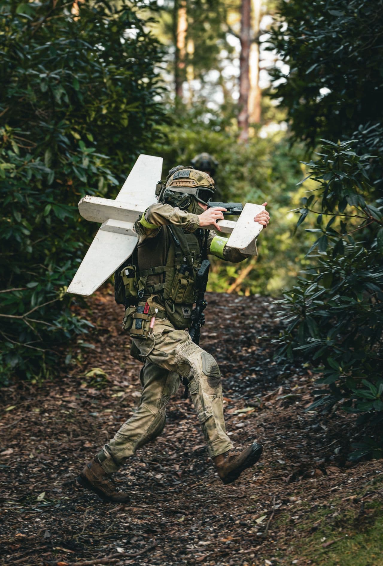
The challenge
Everything you need exists — just not in one place.
Mission data is scattered across imagery feeds, sensor networks, and written reporting in incompatible systems. Building a common picture by hand is slow, and decisions can't wait.
What NIKA does
How NIKA helps defense & national security teams.
Common operating picture
Fuse imagery, full-motion video, sensors, and reporting onto one live map.
Detect and track
Find assets and movement, follow them over time, and flag changes automatically.
Reason in coordinates
Run line-of-sight, range, and route questions grounded in real terrain.
Products that power this
From the old way to the NIKA workflow.
Mission data is scattered across imagery feeds, sensor networks, and written reporting in incompatible systems. Building a common picture by hand is slow, and decisions can't wait.
- 7 data sources that don’t talk to each other
- Analysts stitch it together by hand — days per question
- Often stale by the time the answer lands
- Fuse the feedsNIKA PlanetExplore Planet
Bring imagery, FMV, AIS, and reporting onto one live operating map.
- Ask in plain languageNIKA AnalystExplore Analyst
Query the picture and run line-of-sight, range, and routes in coordinates.
A single, current picture of the operating environment — decisions in minutes, not briefings.
How it works
From your data to a decision.
- Step 1
Connect your data
Files, folders, and the platforms your team already pays for.
- Step 2
Ask in plain language
No query language, no technical expertise — just the question.
- Step 3
NIKA reasons across location
It reads, searches, and runs the analysis grounded in real coordinates.
- Step 4
Get the decision
A report, map, or answer you can act on and share.
Data connectors NIKA uses
NIKA plugs into the platforms defense & national security teams already pay for, then reasons across them in one place.
- Maxar & commercial imagery
- Full-motion video (FMV)
- AIS & ADS-B tracks
- SIGINT/ELINT feeds
- OpenStreetMap & terrain (DTED)
- All-source reporting
- Track & link feeds
What you can ask NIKA
- Fuse today's imagery, AIS, and reporting into one picture of this area of interest and flag what changed since yesterday.
- Show every vessel that left this port in the last 72 hours and where it went.
- Compute line-of-sight and a covered route between these two points over the terrain.
More use cases