NIKA use case
NIKA for Disaster response
Turn fresh imagery and live feeds into a prioritized response within the hour.
For emergency managers — map damage fast and route crews where they matter most.
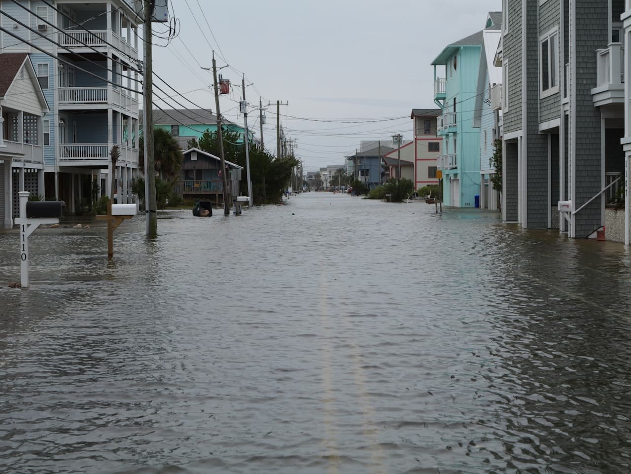 Richard R / Unsplash
The challenge
Everything you need exists — just not in one place.
When disaster hits, fresh imagery and live feeds pour in faster than any team can fuse them — and crews get dispatched before anyone has a clear picture of where help is needed most.
What NIKA does
How NIKA helps disaster response teams.
Map damage fast
Turn new imagery into flood or fire extent and affected-building counts within the hour.
Prioritize response
Rank crews by damage severity and population vulnerability.
Route around closures
Find which shelters and routes are reachable given current conditions.
Products that power this
From the old way to the NIKA workflow.
When disaster hits, fresh imagery and live feeds pour in faster than any team can fuse them — and crews get dispatched before anyone has a clear picture of where help is needed most.
- 7 data sources that don’t talk to each other
- Analysts stitch it together by hand — days per question
- Often stale by the time the answer lands
- Map the damageNIKA GeoEngineExplore GeoEngine
Turn fresh imagery into flood extent and affected-building counts within the hour.
- Prioritize responseNIKA AnalystExplore Analyst
Rank crews by severity and vulnerability and find reachable shelters.
- Capture on the groundNIKA MobileExplore Mobile
Log damage assessments offline as crews work the affected blocks.
Faster, better-targeted response and resource allocation.
How it works
From your data to a decision.
- Step 1
Connect your data
Files, folders, and the platforms your team already pays for.
- Step 2
Ask in plain language
No query language, no technical expertise — just the question.
- Step 3
NIKA reasons across location
It reads, searches, and runs the analysis grounded in real coordinates.
- Step 4
Get the decision
A report, map, or answer you can act on and share.
Data connectors NIKA uses
NIKA plugs into the platforms disaster response teams already pay for, then reasons across them in one place.
- FEMA
- NWS / NOAA
- Maxar
- Watch Duty
- Everbridge / Genasys
- Esri ArcGIS
- Road-closure feeds
What you can ask NIKA
- Map today's flood extent and count affected buildings and people.
- Prioritize crews by damage severity and population vulnerability.
- Which shelters are reachable given current road closures?
More use cases