Opening
For years, the Earth has been getting easier to observe and harder to understand.
More satellites are going up. Planet has operated more than 200 satellites and built its business around imaging the Earth every day. Satellogic has launched dozens of optical satellites since 2016. EarthDaily's new optical constellation began launching in 2025 and 2026, with 22-band imaging designed for daily monitoring. Add Sentinel, Maxar/Vantor, Airbus, ICEYE, GHGSat, and the new smallsat companies, and the sky is no longer quiet. [1]
The ground is not quiet either. Buoys drift through oceans and report conditions that used to disappear between ship visits. Weather stations sit in fields, ports, airports, and mountain passes. Grid networks report power flows. Transportation systems produce signals from trains, trucks, ships, toll roads, traffic cameras, and phones. A modern city, farm, mine, port, or forest is surrounded by instruments.
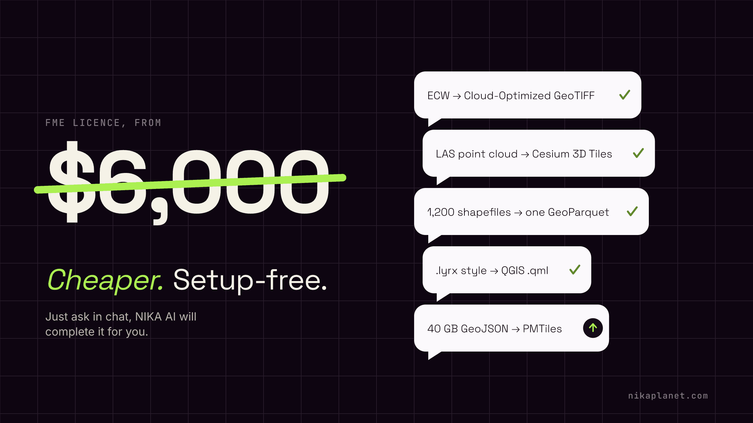
That sounds like progress. It is progress. But for the people who must make decisions, it can feel like standing in a rainstorm with a teacup. A specialist used to spend days stitching one task together: find the imagery, clip the area, clean the shapefile, check the projection, run the model, export the map, write the memo, and explain the caveats. If the question crossed into another field - weather, hydrology, transport, finance, building footprints, crop science - the work slowed again. Not because the specialist was weak, but because no one person can hold the whole planet in their head.
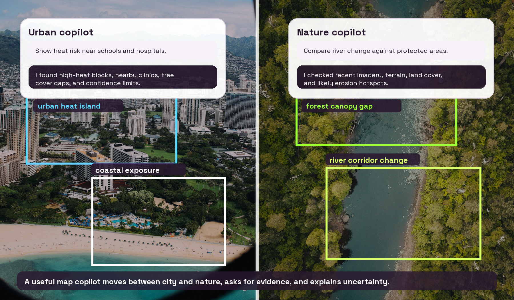
Illustration: a map copilot is useful when it can move between urban systems and natural systems, inspect imagery, ask for evidence, and explain the result instead of only chatting over a basemap.
Why I thought this was five to ten years away
Two years ago, when people asked when AGI would become useful for utilities and mapping work, I did not doubt the direction. I doubted the speed. My honest answer was closer to five or ten years than two.
The reason was simple. Satellite images are huge. GIS tools are not uniform. One agency stores data in ArcGIS, another in PostGIS, another in GeoPackage, another in a bucket of GeoTIFFs, another in a file naming system only one retired analyst truly understands. LLMs also have a token window: a limit on how much text or data they can look at in one pass. A county parcel database, a year of weather station records, a stack of satellite scenes, and a 90-page engineering report can easily be larger than what a model can read directly.
So my old answer was: not yet, not at useful field speed. The model may speak well, but maps are messy. Real geospatial work is not a demo prompt. It is formats, projections, permissions, large files, missing metadata, and consequences. What surprised me was not that AI arrived. It was how quickly the distance collapsed.
Then the models started to reason in public
My confidence in that old answer began to shake when the frontier AI labs stopped showing only chat and started showing work.
Anthropic's Claude became known not only for writing answers, but for using tools, writing code, interacting with computer screens, and helping create design-like artifacts. OpenAI pushed Codex from autocomplete toward a coding copilot that can inspect a codebase, edit files, run tests, and return a working change. The important point was not that every output was perfect. It was that the model could hold a goal, use tools, recover from mistakes, and move through a task with some sense of sequence. [2]
The pace has not slowed. June 2026 reporting around Anthropic's Fable/Mythos work shows how quickly the field is moving from chat toward systems that can reason through harder research tasks, while also raising real security and governance questions. [3]
That is where the gap begins to close for maps. Not because an LLM can swallow a petabyte of imagery into its prompt. It cannot. The useful pattern is different: the copilot plans, calls tools, reads small pieces at a time, asks the database, runs code near the data, checks the map, and writes the explanation.
Internal struggle
I want to be honest about the feeling this creates.
Part of me wanted to resist building AI for this field because fast-moving AI can become unsafe in quiet ways. Mapping, utilities, weather, climate, and infrastructure work are not games. They affect homes, crops, disaster response, energy reliability, insurance, water, and lives. If the system becomes a black box, people may not know which data it used, which assumptions it made, why it trusted one layer over another, or where the uncertainty really sits.
That creates a trust problem. A polished answer can feel authoritative even when the model skipped a dataset, misunderstood a projection, overread an image, or produced a confident explanation from weak evidence. The fear is not only job loss. The fear is a map that looks finished before a human understands how it was made.
But the other side of the struggle became harder to ignore. Public science and climate-critical work are already under pressure. In the United States, NOAA and other science agencies have faced layoffs, lease terminations, proposed cuts, and restructuring plans under the Trump administration. Reporting from Washington Post, Politico, Axios, AP, and Guardian has described concern around weather, climate, ocean, and lab capacity. When there are fewer people left to keep essential systems running, the moral question changes. It is not only 'will AI replace people?' It is also 'who helps the people still carrying the work?' [4]
That is the point where I stopped seeing map AI only as acceleration. In the right hands, with the right limits, it can be capacity. But it has to show its work. It has to expose sources, assumptions, methods, failures, and uncertainty in language a working analyst can challenge.
The awe and the risk
What Anthropic has been showing is genuinely awe-inducing: models that operate computers, write code, reason across research tasks, use tools, and push through problems that used to look too brittle for language models. That kind of capability is exactly why map work may change. A copilot that can use tools can move from 'tell me about flood risk' to 'pull the flood layer, intersect it with these parcels, inspect recent imagery, show me the edge cases, and draft a report with citations.'
The same capability is also why guardrails matter. The worst version of this future is not a bad map. It is a system in the hands of bad people that can search satellite imagery, infer weak points in critical infrastructure, identify vulnerable communities, plan sabotage routes, hide behind fake citations, or overwhelm emergency responders with convincing but false analysis. A map copilot that can reason over real-world assets has to be treated differently from a writing assistant.
Our stand should be clear: build useful AI, but build it with strong guardrails. Keep audit trails. Limit dangerous requests. Require source citations. Make uncertainty visible. Keep humans in charge of consequential decisions. Invite the mapping, climate, utility, disaster-response, and research communities to supervise what we create. Safe AI in this field cannot be declared by the builder alone; it has to be watched by the people who understand the work.
What we are seeing in the market
The market is not one race. It is several kinds of map copilots being built for different groups of people.
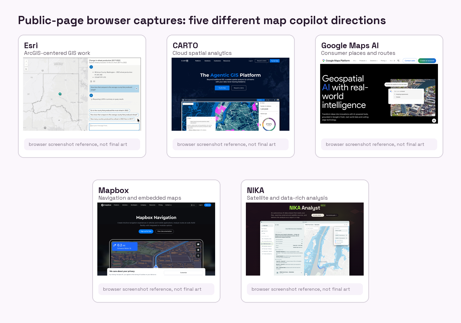
Browser screenshots captured June 18, 2026 from public product or editorial pages. Some pages show cookie banners or editorial coverage where a direct official product page was not available. [5]
There are many more up-and-rising companies and projects in this space than a short article can capture. Leaving them out here is not a dismissal. It is a boundary for the reader: this comparison focuses on five visible directions so the tradeoffs are easier to understand in one sitting.
The important point before naming any product is that map AI is always about requirements. A city GIS department, a retail analytics team, a traveler, an automaker, and a climate analyst do not need the same thing. Some need governance. Some need dashboards. Some need local recommendations. Some need embedded navigation. Some need an AI that can work with files already on their computer, local GIS systems, external datasets, and satellite imagery. The right choice starts with the use case, not the brand.
Esri: for organizations already living in ArcGIS
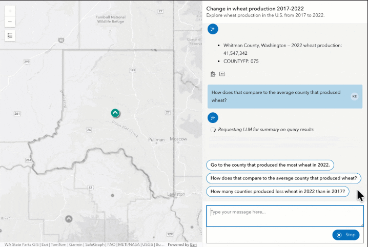
Esri is the serious enterprise GIS choice. If your organization already runs ArcGIS Pro, ArcGIS Online, ArcGIS Enterprise, geodatabases, permissions, field maps, and official layers, then Esri's AI direction matters because it can live inside the system you already trust. This is best for GIS departments, public agencies, utilities, infrastructure teams, and organizations where the map is an official record.
The strength is governance. Esri understands roles, layers, feature services, field collection, enterprise data stewardship, and the day-to-day habits of GIS professionals. An AI assistant inside that world can save time by helping users search tools, summarize layers, draft workflows, and reduce the friction of complex GIS software. The tradeoff is that its center of gravity is the ArcGIS ecosystem. If your work is already there, that is a strength. If your data lives across loose local files, QGIS projects, custom Python, cloud buckets, and outside imagery providers, the fit may require more integration work.
CARTO: for cloud data and business analytics teams
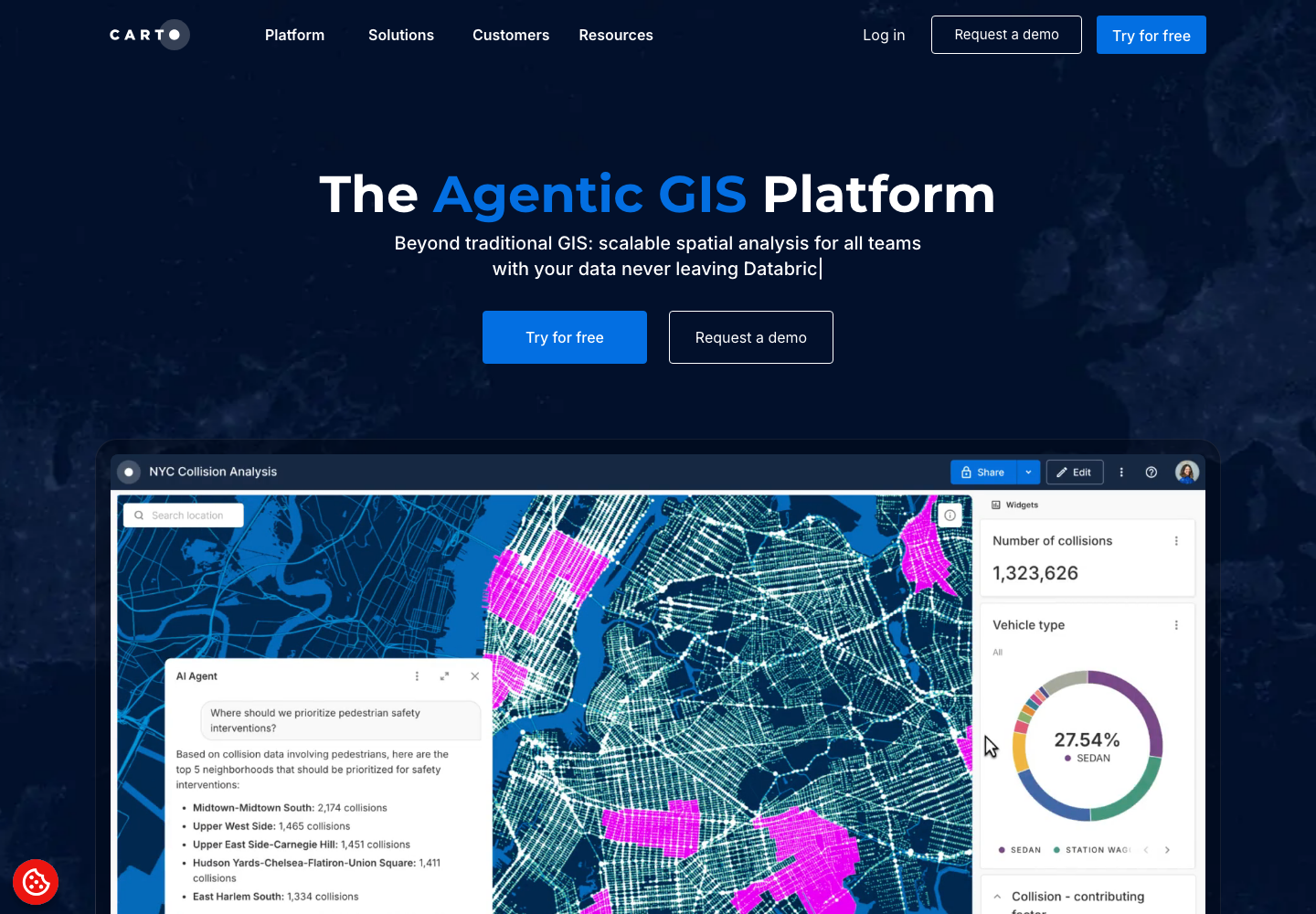
CARTO speaks to a different buyer. Its center of gravity is cloud spatial analytics: data warehouses, SQL, dashboards, movement data, customer catchments, site selection, telecom planning, and business intelligence. If a user's process and workflow already live in cloud places like Snowflake, BigQuery, Databricks, AWS, Azure, GCP, and modern BI tools, CARTO's agentic GIS work is useful because it plugs smarter location intelligence onto data that is already there.
Its natural user is often not the classic GIS desktop analyst. It is the data team, analytics team, network planner, marketer, telecom strategist, retail expansion group, or operations team that already thinks in SQL, dashboards, data warehouses, and cloud permissions. CARTO is compelling when the question is: where are customers moving, which stores overlap, where should we invest, how does demand shift by region? The limitation is that it is less about a desktop-like AI that opens your local project files and more about cloud spatial intelligence for structured business data and existing enterprise data workflows.
Google Maps AI: for everyday places and routes
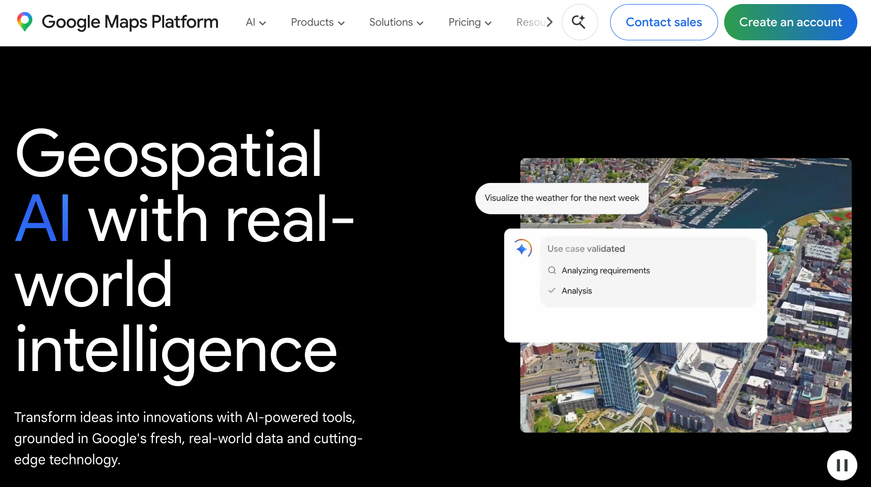
Google Maps AI is strongest when the user is a normal person asking a normal but messy question: where should I go, what is nearby, what is open, what do reviews say, how do I get there, and what route makes sense? For consumer products, local discovery, travel, business search, and route-aware recommendations, Google has an enormous advantage: places, reviews, photos, traffic, routing, and daily user context.
This is a different kind of intelligence from geospatial analysis. It is not primarily about running a flood model, classifying satellite imagery, or joining a shapefile to a parcel layer. It is about making the map conversational for everyday decisions. That is powerful for consumers and local businesses, and it may shape expectations for every map interface. But teams doing formal spatial analysis should not mistake consumer place intelligence for an analyst that can work through domain-specific evidence.
Mapbox MapGPT: for embedded navigation and custom products
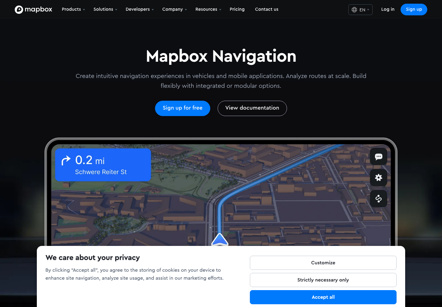
Mapbox is a developer map platform first. Its strength is custom map experiences, navigation, routing, automotive interfaces, mobile SDKs, and control over how the map behaves inside an application. MapGPT should be read through that lens: useful when a product needs a location-aware copilot inside an app, car, logistics workflow, or mobility experience.
The strongest use case is embedded experience. If a vehicle, delivery app, logistics portal, travel tool, or mobility product needs a conversational interface over navigation and map context, Mapbox is close to the product surface. Developers get control, APIs, and design flexibility. The tradeoff is that this is not necessarily where a research analyst goes to fuse local files, satellite imagery, outside data sources, and a long written method note. It is strongest when the map is part of the product itself.
NIKA Analyst: for imagery, files, external data, and finished artifacts
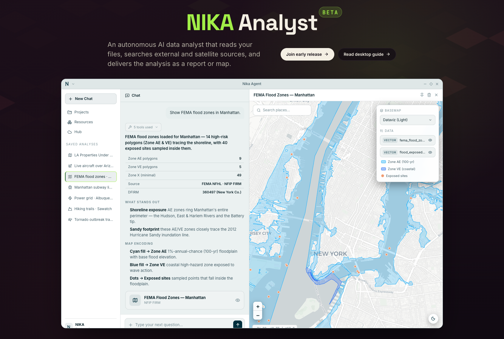
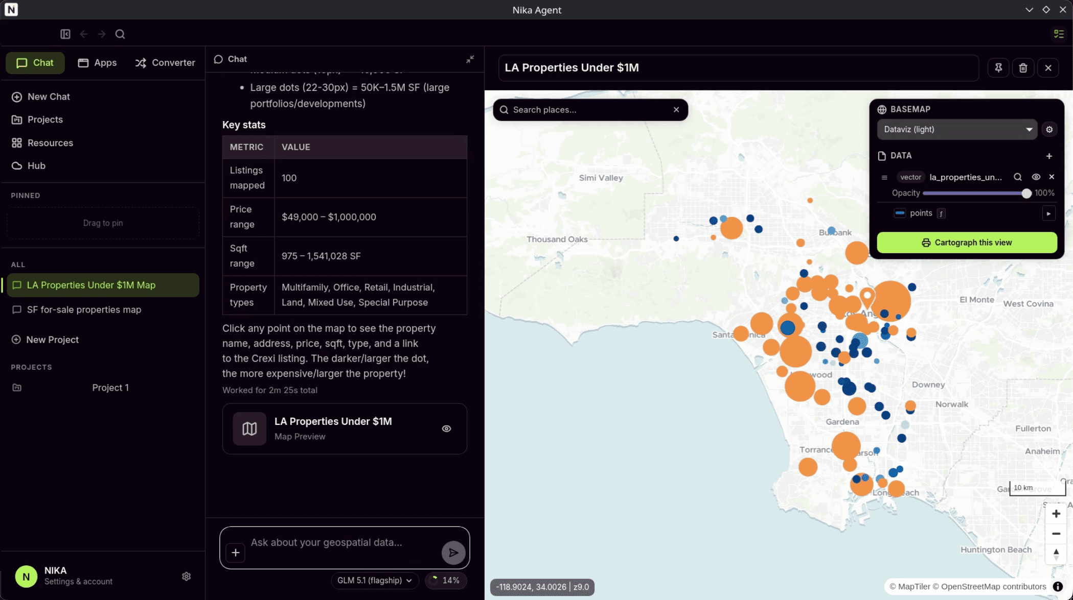
NIKA Analyst is not trying to be the best answer to every map question. Its sharper purpose is interoperability: take a serious location question, work with data the user already has on their computer, connect to local geospatial systems such as QGIS-style workflows, fuse that local context with external data sources and satellite imagery, then return something useful - a map, report, dashboard, deck, or decision memo.
That matters for people who are not just asking 'where is the cafe?' They are asking whether a crop is stressed, whether a parcel is exposed to flood risk, whether a port signal has changed, whether a corridor has enough demand, whether a forest boundary shifted, or whether a site is suitable. In that world, the AI cannot behave like a black box. It has to explain the process, assumptions, methods, datasets, and uncertainty as it works toward the goal.
The niche is closer to a desktop-style geospatial analyst than a consumer map assistant. A user may have local shapefiles, GeoTIFFs, CSVs, QGIS projects, PDFs, old reports, and private datasets that cannot simply be pasted into a chat window. NIKA Analyst is most relevant when the question requires those local materials to be used alongside fresh outside data and imagery. For companies that want this capability inside their own website or product, NIKA Analyst capability is also planned to become available through the upcoming NIKA Agent SDK.
A plain-English chooser
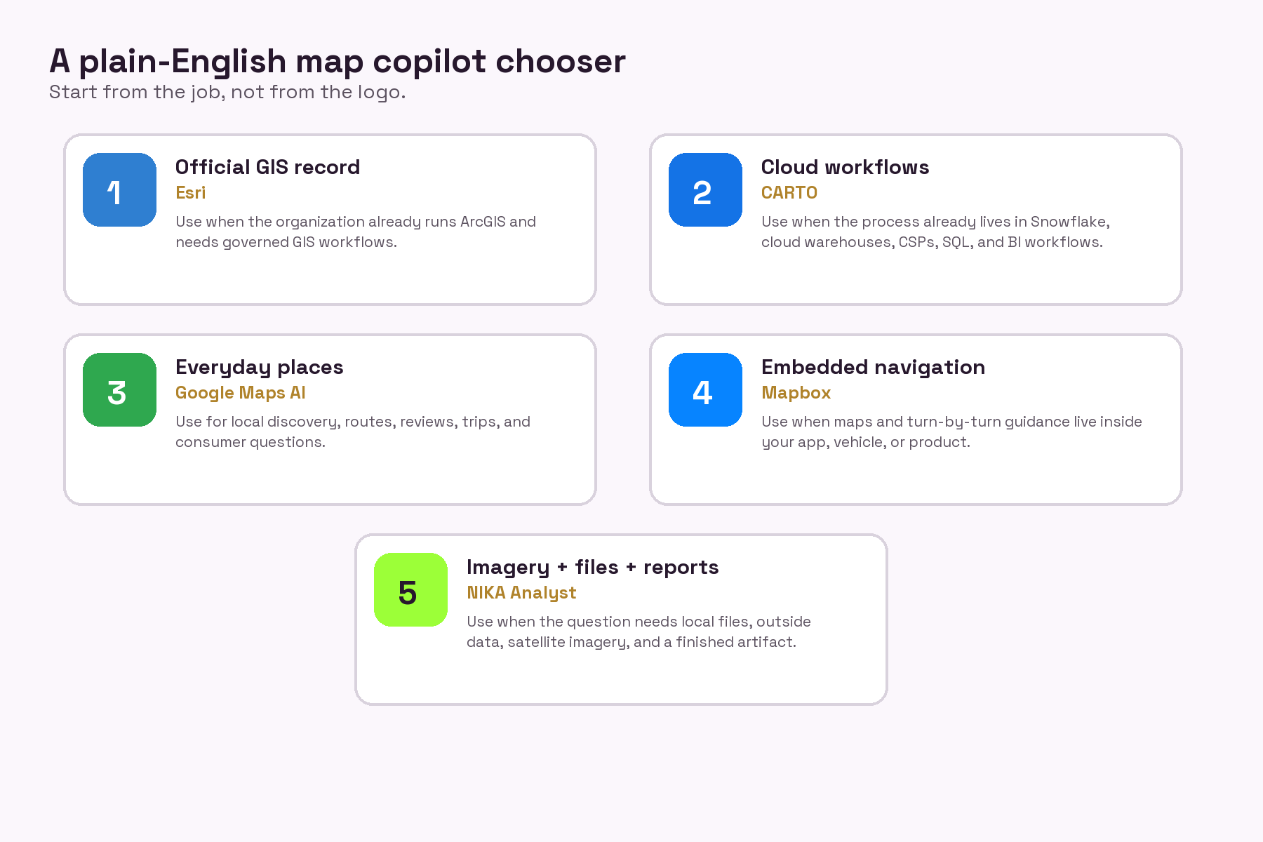
Infographic: the right product depends on the job, the data, and where the user already works.
Closing
The map is getting smarter, but not as one product. It is getting smarter in pieces: the enterprise GIS copilot, the cloud data copilot, the consumer guide, the navigation copilot, and the satellite-aware analyst.
The right question is not whether AI will replace maps. It will not. The right question is whether we can build copilots that respect the work: the data, the people, the uncertainty, the cost of being wrong, and the urgency of decisions that have to be made before the next storm, harvest, outage, or flood.
That is the standard NIKA Analyst should be held to. Not magic. Not a replacement. A serious tool for serious work, built with guardrails, open to community supervision, and designed so more people can understand the Earth while there is still time to act.
About the author
Lawrence Xiao is the Co-Founder and CTO of NIKA. Before building NIKA, he worked at AWS, where he watched geospatial technology move from specialist desktop workflows toward cloud-native data systems, scalable compute, and AI-assisted analysis. He is also a contributor to open-source geospatial libraries and an everyday coder who loves and breathes maps. That background shapes the argument in this essay: the future of mapping should not be a loose chatbot over a basemap, but a responsible copilot that can work with real imagery, real data, real infrastructure, and real human accountability.
Research and source notes
[1] Satellite growth and imagery context: Planet Labs (https://www.planet.com/), Satellogic (https://satellogic.com/), EarthDaily (https://earthdaily.com/), ESA/Copernicus Sentinel missions (https://www.esa.int/Applications/Observing_the_Earth/Copernicus).
[2] AI capability context: The Verge on Claude computer use (https://www.theverge.com/2024/10/22/24276822/anthropic-claude-computer-use-ai), Anthropic Claude Code announcement (https://www.anthropic.com/news/claude-3-7-sonnet), OpenAI Codex (https://openai.com/index/introducing-codex/).
[3] Fable/Mythos note: current June 2026 reporting from Axios (https://www.axios.com/2026/06/17/anthropic-fable-mythos-ai-model-government-oversight), Guardian (https://www.theguardian.com/commentisfree/2026/jun/17/anthropic-ai-rsi-fable), and Business Insider discusses Anthropic Fable/Mythos restrictions and security concerns. Treat product names and availability as fast-moving before publication.
[4] Public-sector pressure context: Washington Post on NOAA firings (https://www.washingtonpost.com/climate-environment/2025/02/27/noaa-nws-mass-firings-trump-administration/), Politico on NOAA restructuring plans (https://www.politico.com/news/2025/04/11/white-house-plan-guts-noaa-climate-research-00286408), Axios Boulder on NCAR/NOAA/NIST concerns (https://www.axios.com/local/boulder/2026/03/16/ucar-lawsuit-ncar-dismantling-ncar-trump-administration), AP on Ocean Observatories Initiative (https://apnews.com/article/9b306cb05ec3c824f5e034821add6ad2), Guardian on science cuts (https://www.theguardian.com/us-news/2025/sep/17/trump-science-war-public-health-experts).
[5] Product page context for screenshots and comparison: Esri ArcGIS product pages, CARTO Agentic GIS public page, The Verge coverage of Google Maps AI, Mapbox navigation/MapGPT pages, and NIKA Analyst local site review.